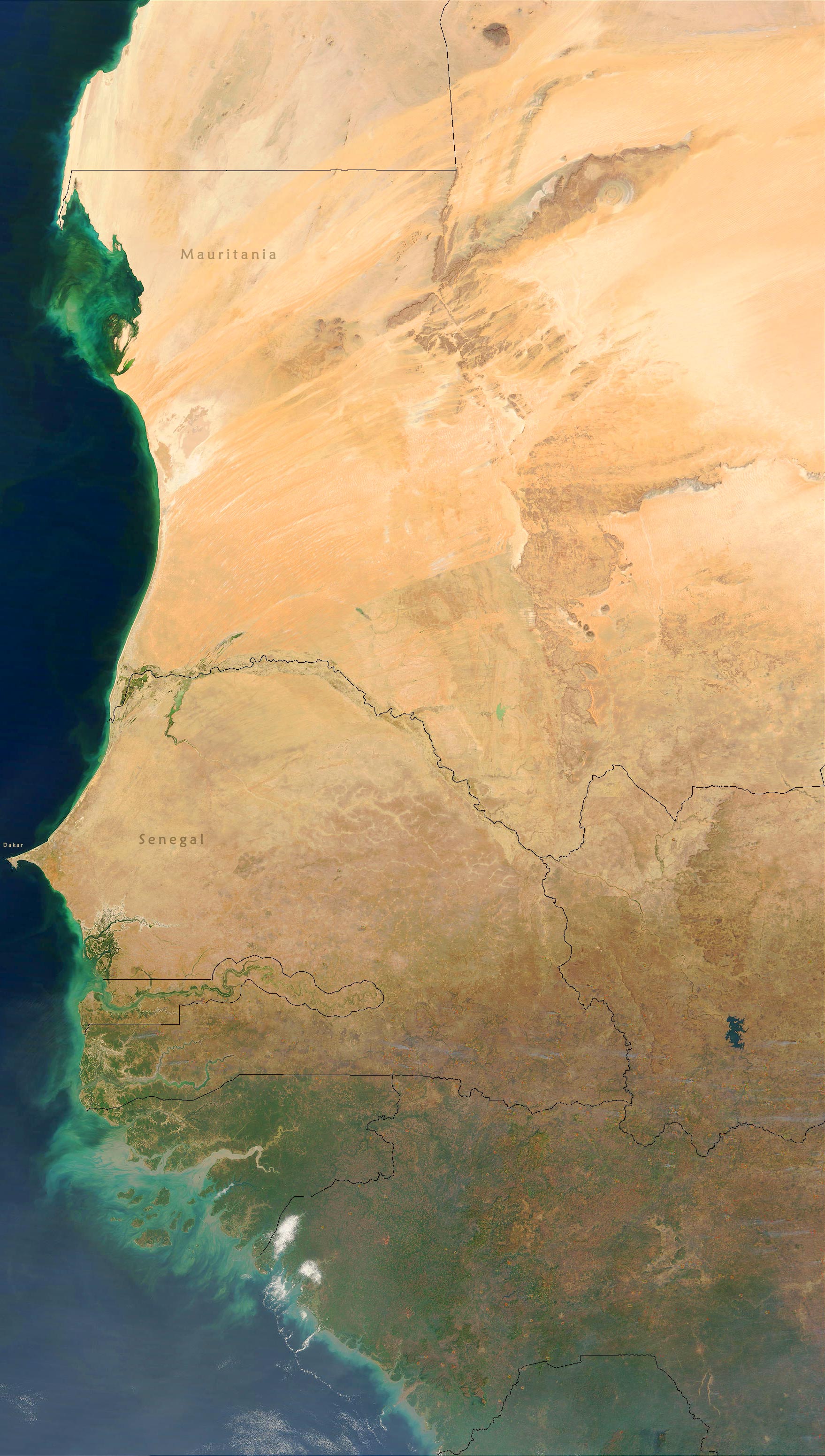
Imagem de Satélite do Extremo Ocidental da África
(Parte Oeste do Deserto do Saara)
(Composição de imagens tiradas no período de nov. 2002 a abr.2003, NASA).
Países: Guiné, Serra Leoa, Senegal, Guiné-Bissau, Gâmbia e Mauritânia.
Saara Ocidental
The bull's-eye of the Richat Structure - the barren Gres de Chinguetti Plateau, Mauritania. It represents domally uplifted, layered (sedimentary) rocks that have been eroded by water and wind into the present shape (NASA).
Nouadhibou

Senegal
|
|
Copyright © Guia Geográfico - África Turismo. |
Oceano Atlântico
Nuakchott
Serra Leoa
Guiné
Guiné-Bissau
Gâmbia
